Difference between revisions of "File:KGeography 1 Map of undivided Andhra Pradesh.png"
Jump to navigation
Jump to search
({{Information |Description ={{en|1=Map of undivided Andhra Pradesh shown in KGeography}} |Source =https://commons.wikimedia.org/wiki/File:KGeography_1_Map_of_undivided_Andhra_Pradesh.png |Author =Albert Astals Cid and Developers |Dat...) |
(No difference)
|


Latest revision as of 16:26, 21 December 2016
Summary
| Description |
English: Map of undivided Andhra Pradesh shown in KGeography
|
| Date | |
| Source | https://commons.wikimedia.org/wiki/File:KGeography_1_Map_of_undivided_Andhra_Pradesh.png |
| Author | Albert Astals Cid and Developers |

Licensing

|
Permission is granted to copy, distribute and/or modify this document according to the terms in Creative Commons License, Attribution-ShareAlike 4.0. The full text of this license may be found here: CC by-sa 4.0 | 
|
File history
Click on a date/time to view the file as it appeared at that time.
| Date/Time | Thumbnail | Dimensions | User | Comment | |
|---|---|---|---|---|---|
| current | 16:26, 21 December 2016 | 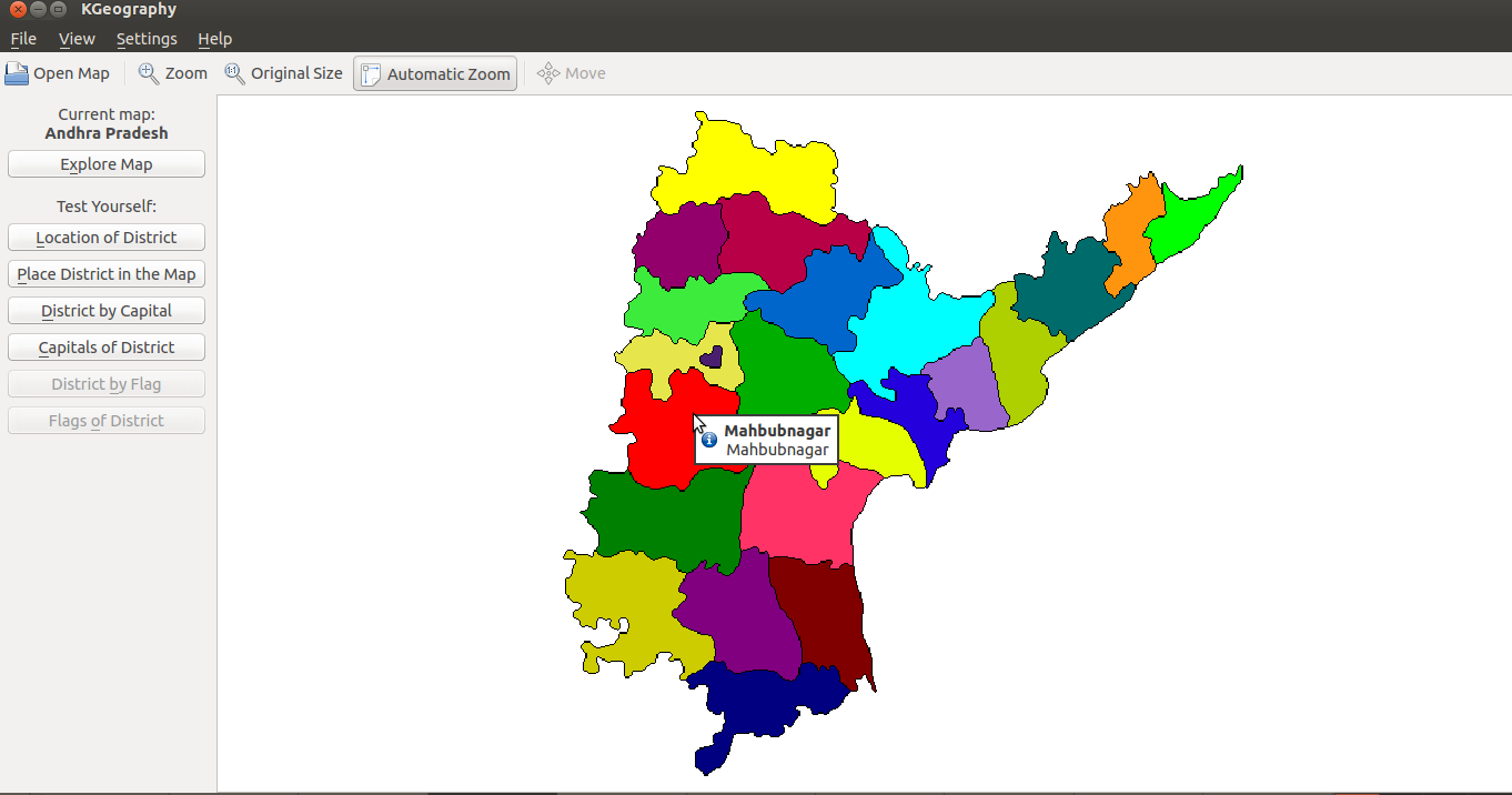 | 1,362 × 716 (66 KB) | Venkatesh (talk | contribs) | {{Information |Description ={{en|1=Map of undivided Andhra Pradesh shown in KGeography}} |Source =https://commons.wikimedia.org/wiki/File:KGeography_1_Map_of_undivided_Andhra_Pradesh.png |Author =Albert Astals Cid and Developers |Dat... |
You cannot overwrite this file.
File usage
The following file is a duplicate of this file (more details):

- File:KGeography 1 Map of undivided Andhra Pradesh.png from Wikimedia Commons
The following page uses this file:
